|
| *****SWAAG_ID***** | 893 |
| Date Entered | 09/09/2015 |
| Updated on | 09/09/2015 |
| Recorded by | Tim Laurie |
| Category | Mining Related |
| Record Type | Mining |
| Site Access | Public Access Land |
| Record Date | 08/09/2015 |
| Location | Cliff Beck Pastures below Muker Common |
| Civil Parish | Not known |
| Brit. National Grid | |
| Altitude | 400m |
| Geology | Glacial till and loess over faulted and mineralised strata below the Underset Limestone. |
| Record Name | Large lead bale overlain by mine spoil tip from level associated with the Providence Hush System |
| Record Description | Lead Bale with much slag and burnt barytes forming vegetation free area over-lain by the spoil tip arising from an isolated Lead Mine Adit and Level. This Lead Bale, Mine and Hush is located on the lower slope above the south bank of Cliff Beck some 300m to the South-West of the Providence Lead Mine Hush and is probably related to the same lead vein complex. |
| Dimensions | See photos |
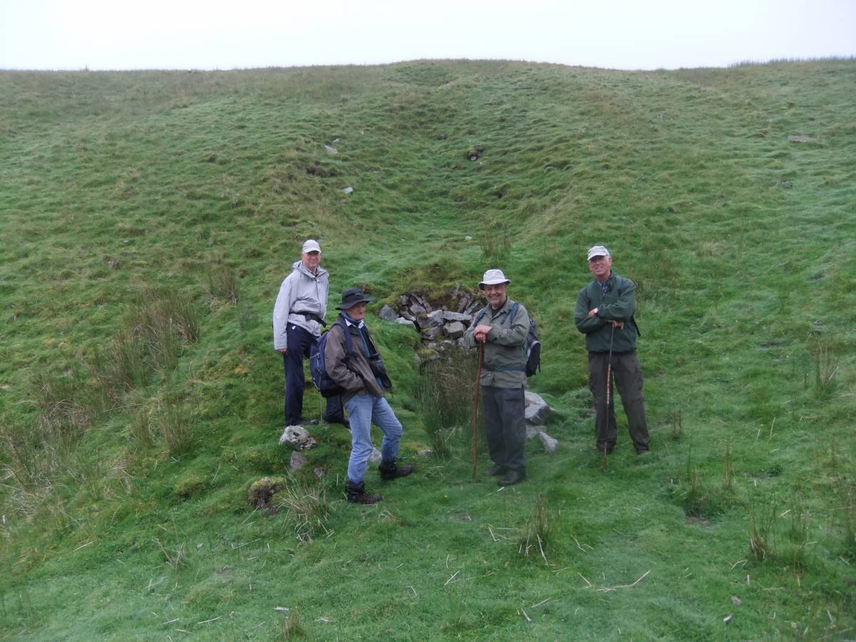
| Additional Notes | Note the slumped depressions of the hill slope above the adit (Photo 1) which mark the line of the collapsed line of the level into the hill |
| Image 1 ID | 6458 Click image to enlarge |
| Image 1 Description | The adit to the level above the Bale with Mike, Hugh, Ric and John. Note the slumping marking collapse of the level tunnel. | 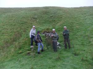 |
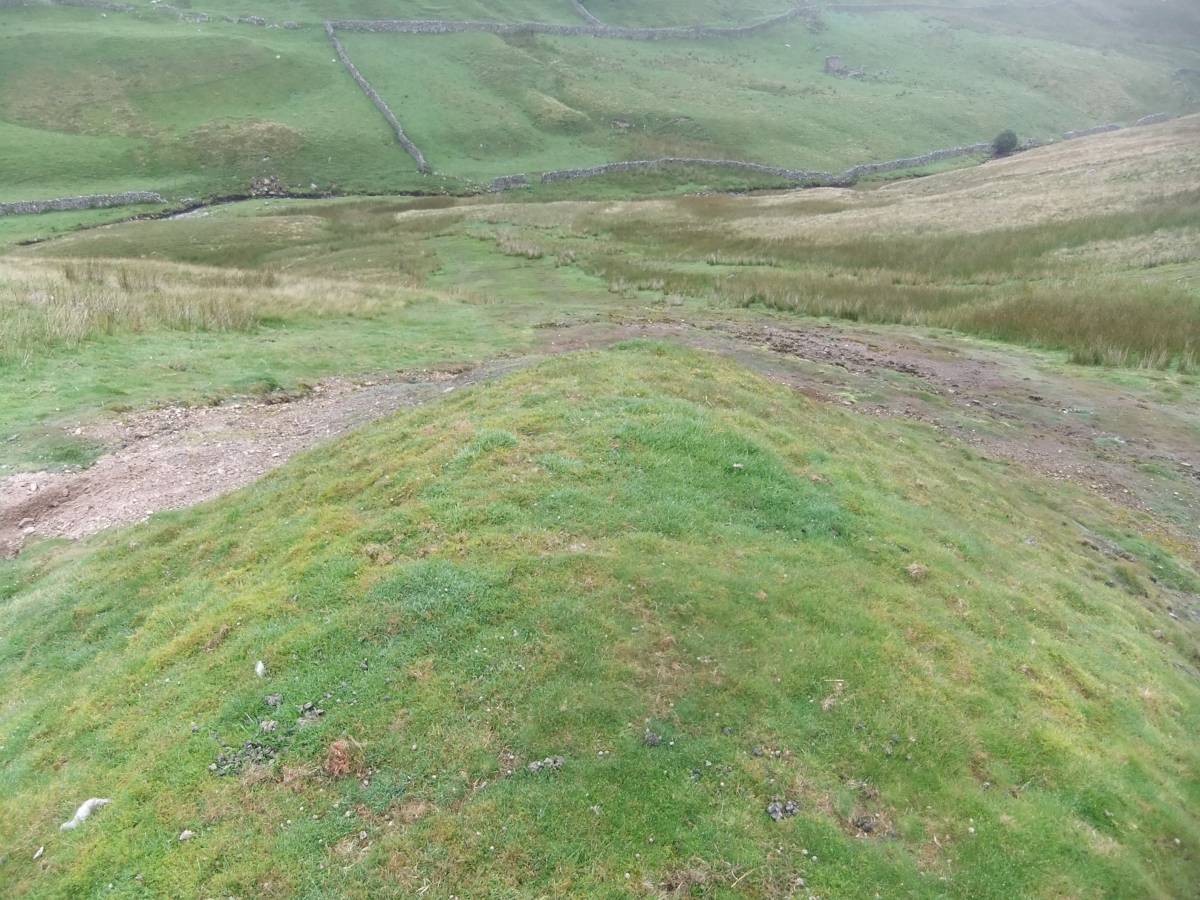
| Image 2 ID | 6455 Click image to enlarge |
| Image 2 Description | The lead bale is directly below the spoil tip. | 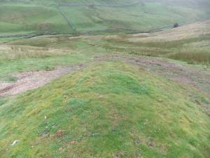 |
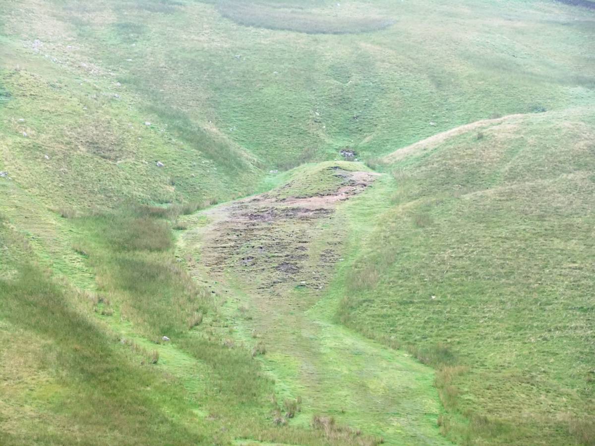
| Image 3 ID | 6456 Click image to enlarge |
| Image 3 Description | Lead slag and burnt barytese mark the presence of a bale overlain by the spoil tip. | 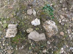 |
| Image 4 ID | 6454 Click image to enlarge |
| Image 4 Description | The lead mine and bale site photographed from the Buttertubs road | 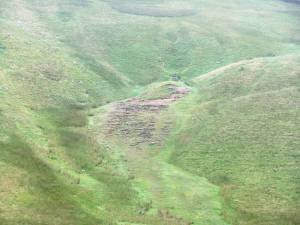 |
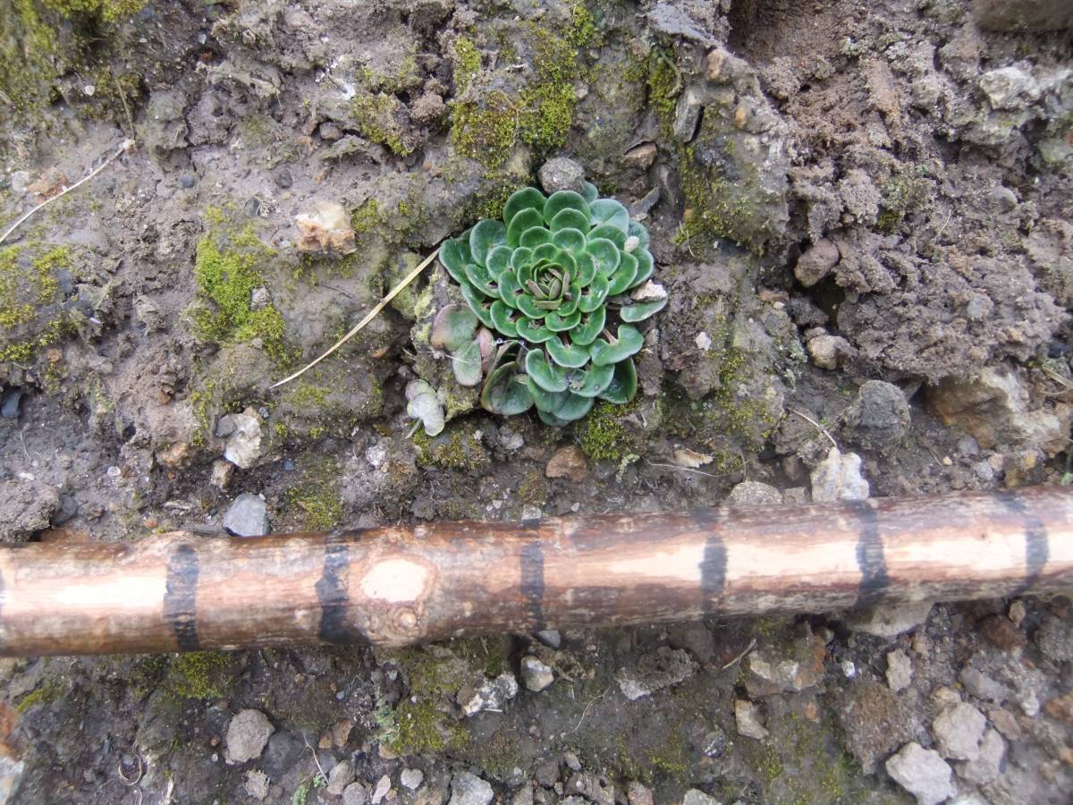
| Image 5 ID | 6457 Click image to enlarge |
| Image 5 Description | A rosette of Scurvy Grass (Cochlearia officinalis), a metalophyte (heavy metal tolerant plant) associated with heavy metal (lead) contaminated areas |  |